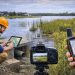
Traditional stormwater inspections often rely on paper forms and disconnected photos. GIS or Geographic Information Systems transforms inspections into a powerful decision-making tool by linking field data, photos, and condition assessments directly to mapped assets.
With GIS-enabled inspections, environmental offices and public works, teams gain real-time insight into system conditions, making it easier to track compliance, schedule repairs, and document maintenance activities accurately.
Last modified: January 18, 2026